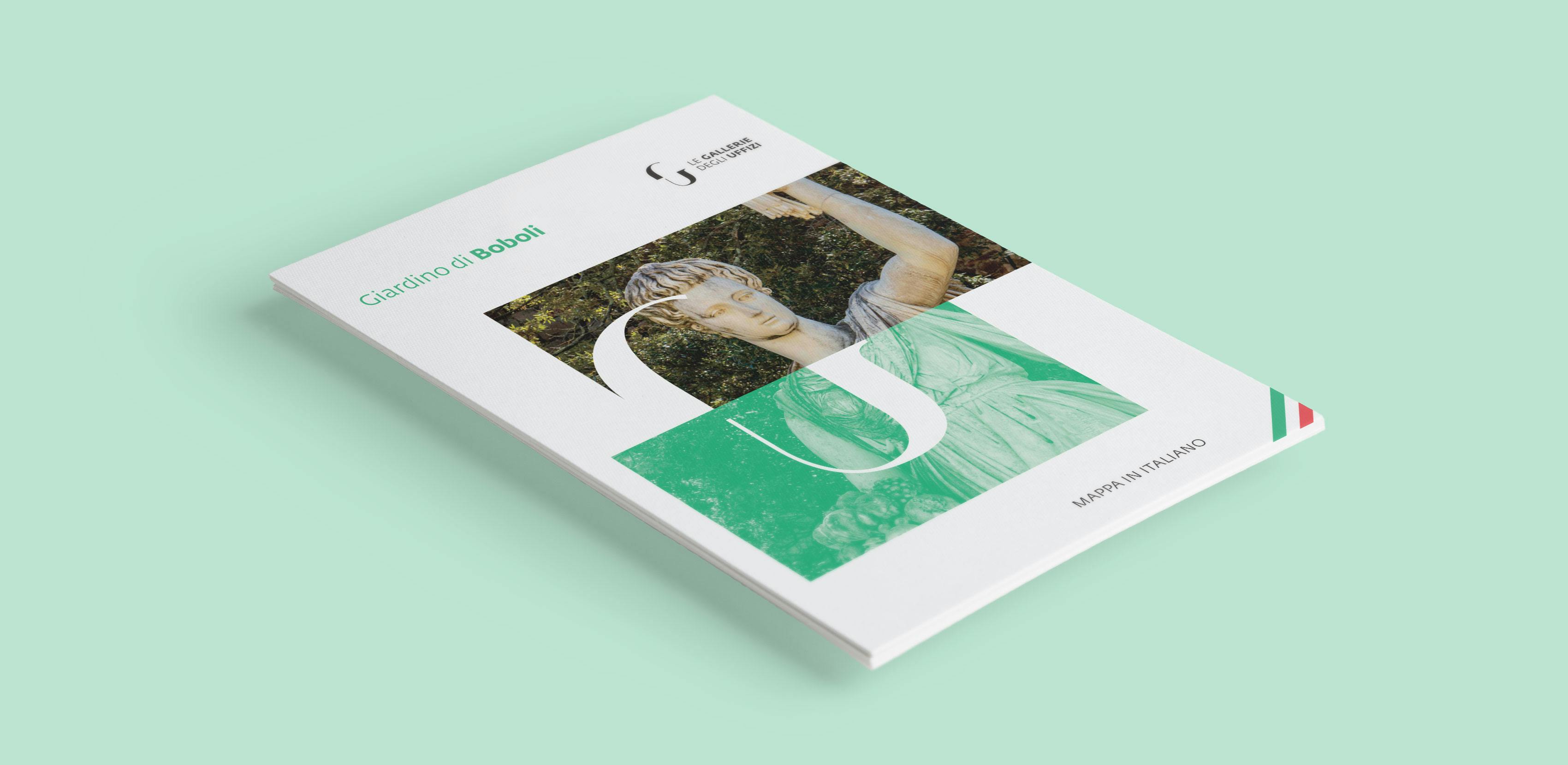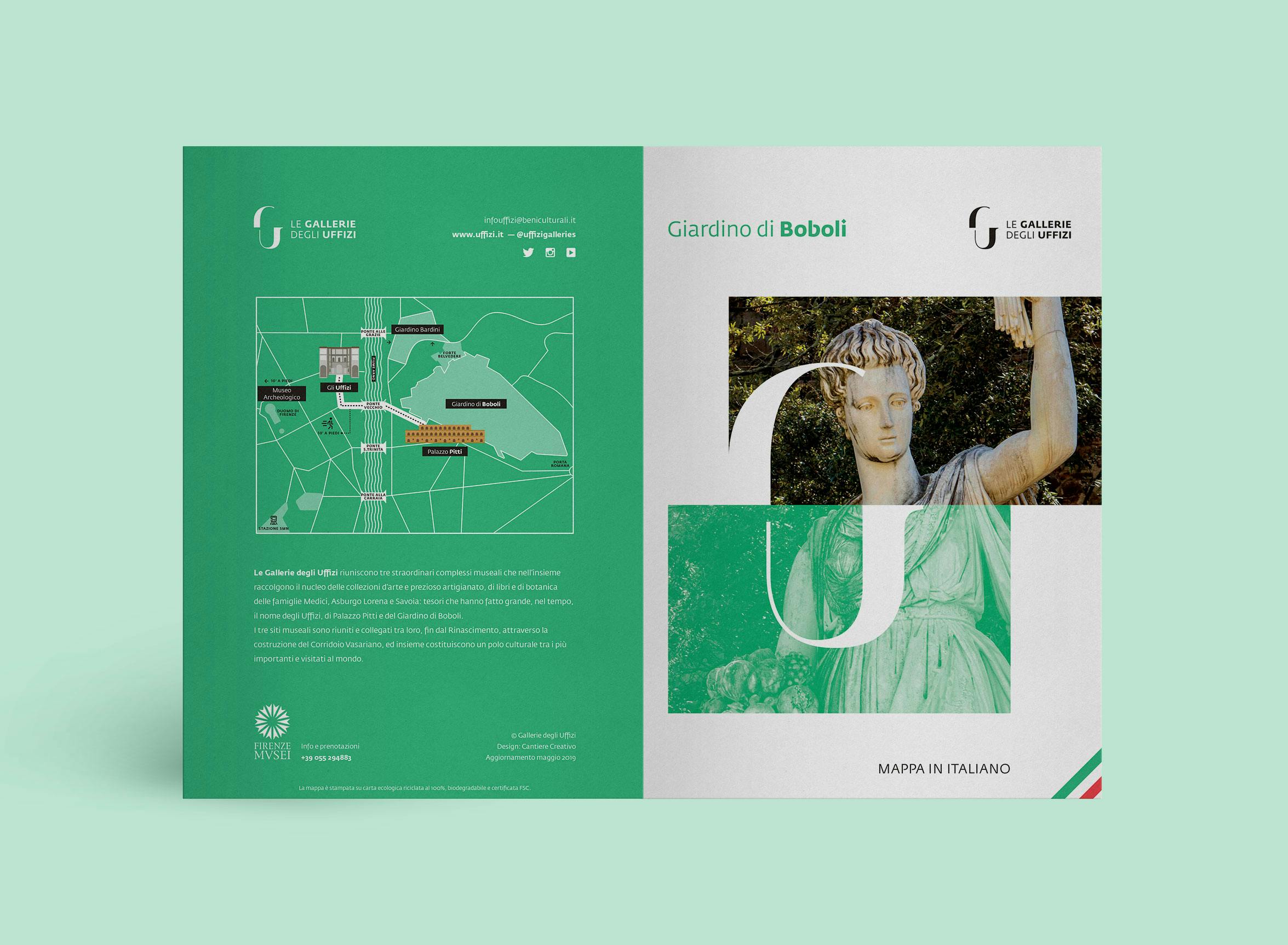

The Boboli Gardens maps

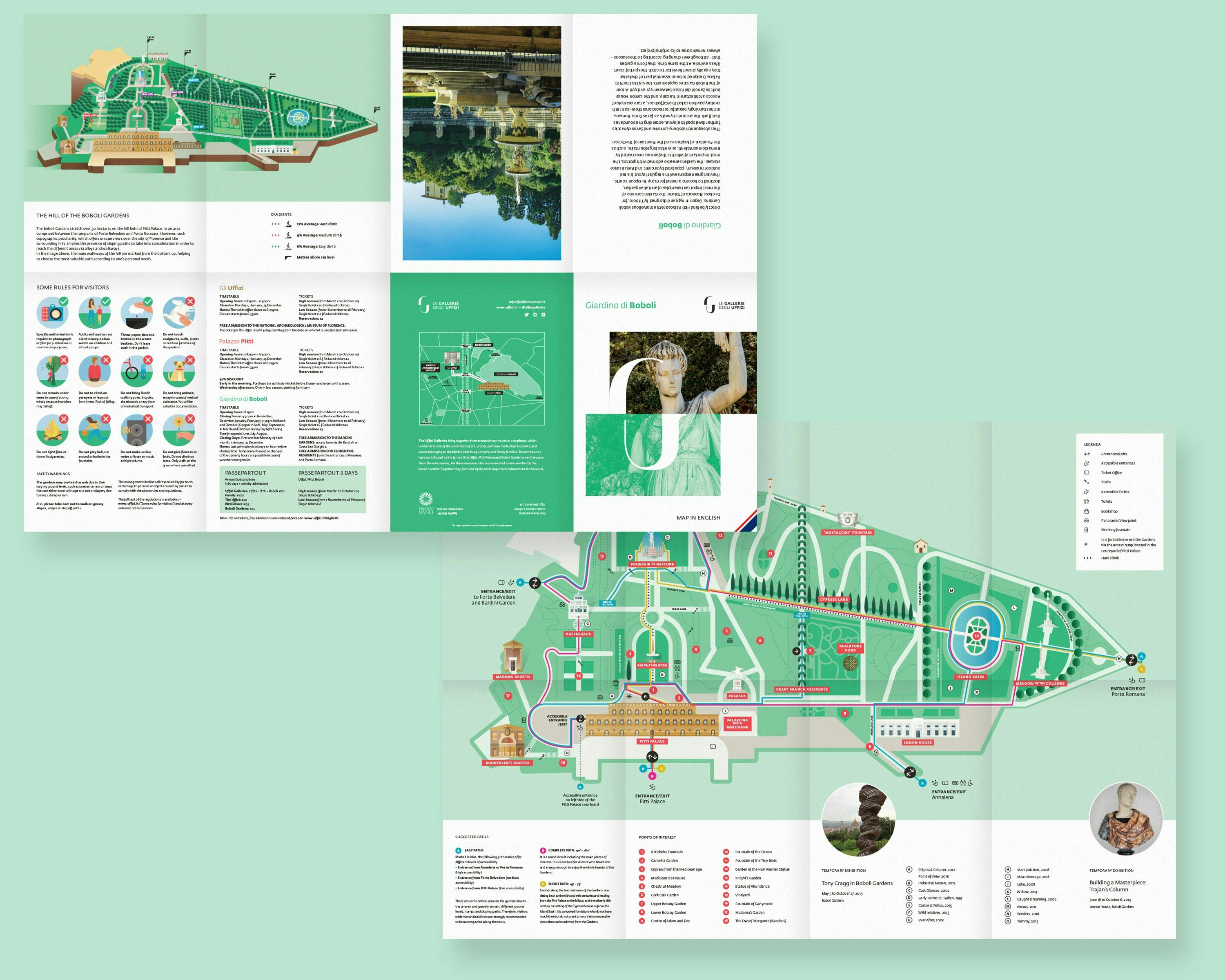
It was the Administration itself that explained the need to improve the visitor experience, starting with a map that could give clear, engaging answers to two constant challenges in representing space effectively.


Challenge
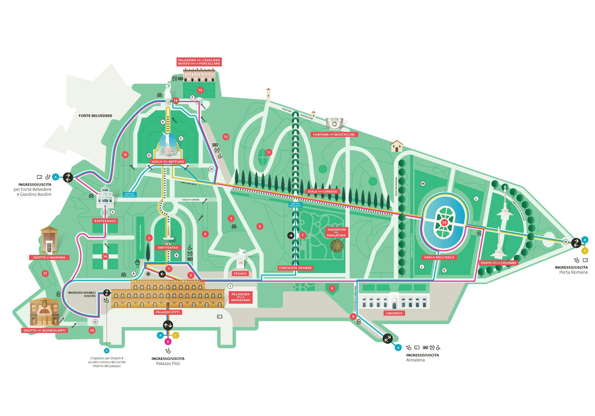
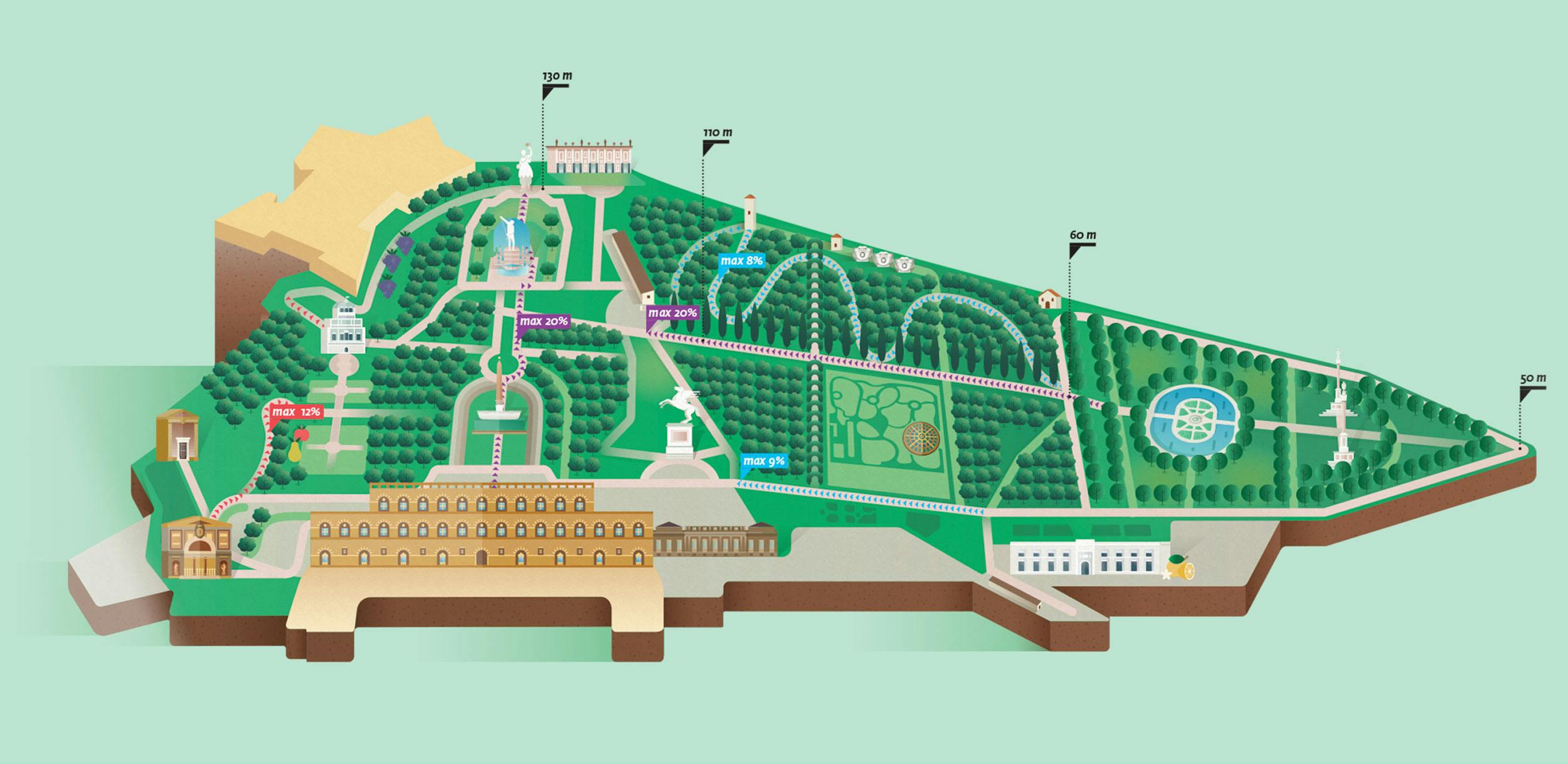
One difficulty we had to tackle was conveying the slopes inside the Boboli Gardens. Many visitors don't realize how far they will have to walk or how steep the Gardens are, and end up giving up, especially on sunny days when faced with climbs they didn't expect. This map shows the elevation of each area at a glance, from a minimum of 50 meters up to 130 meters. The goal is to give visitors an immediate overview of the terrain, so they can freely choose where to go based on their own abilities.



A map to find your way
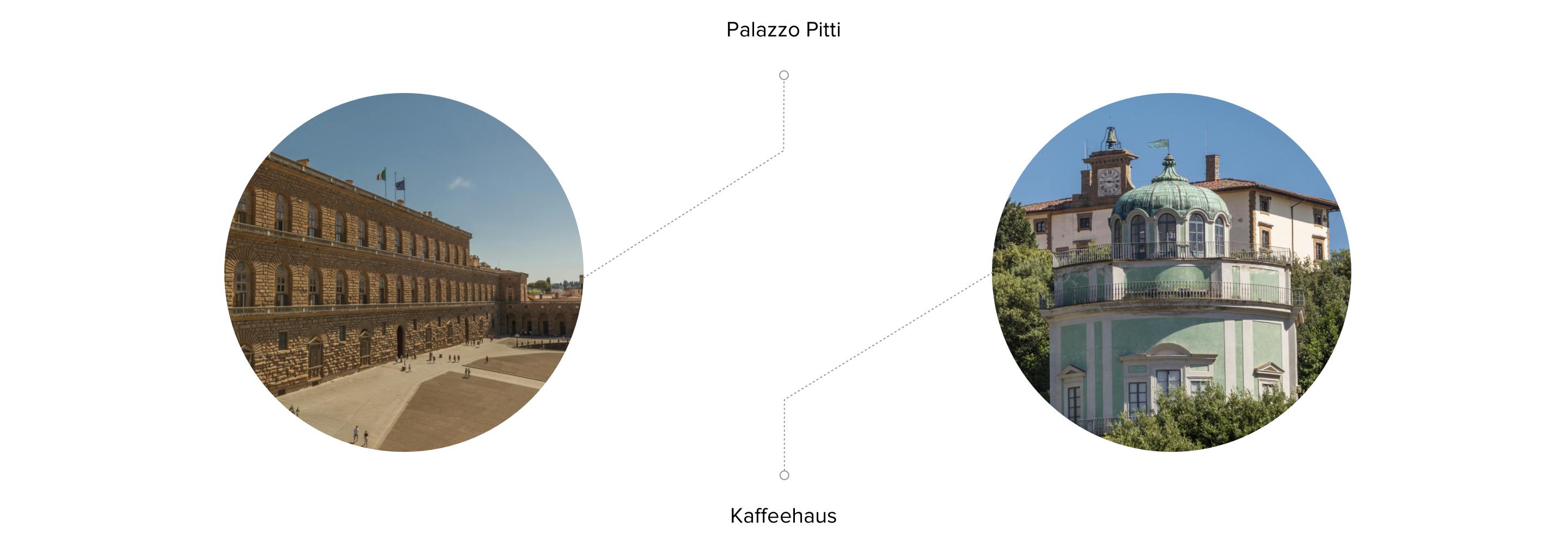
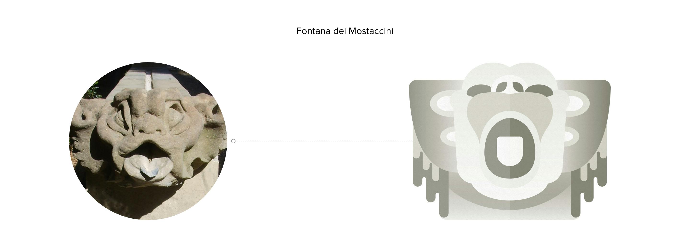
One of the two maps is a flat top-down view of the entire garden, with flat illustrations of the most important points of interest. The aim was to create graphics that are as simple as possible and instantly usable for visitors. The map suggests three types of routes: complete (in pink), quick (in yellow) and easy (in blue). The last one is designed mainly for people with limited mobility. The complete map also marks the steepest slopes, the facilities and the most important monuments to visit.